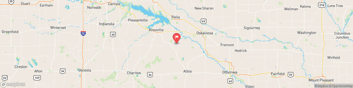
CEDAR CREEK NEAR BUSSEY
USGS 05489000
FLOOD WATCH
* WHAT...Flash flooding caused by excessive rainfall continues to be possible. * WHERE...For Highway 30 counties and areas south to the Missouri border in central Iowa. * WHEN...Through Saturday morning. * IMPACTS...Excessive runoff may result in flooding of rivers, creeks, streams, and other low-lying and flood-prone locations. Creeks and streams may rise out of their banks. Flooding may occur in poor drainage and urban areas. * ADDITIONAL DETAILS... - Several rounds of rain have brought ...
Today, Showers and thunderstorms. Steady temperature around 72. East wind around 7 mph. Chance of precipitation is 80%. New rainfall amounts between a tenth and quarter of an inch, except higher amounts possible in thunderstorms.
Tomorrow, Showers and thunderstorms. Steady temperature around 72. East wind around 7 mph. Chance of precipitation is 80%. New rainfall amounts between a tenth and quarter of an inch, except higher amounts possible in thunderstorms.
5-Day Forecast
Long Term Forecast
16-Day Forecast
Get More With Premium