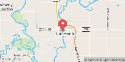
Streamflow discharge was last observed at 4,240 cfs, and a gauge height of 4.49 feet.
With the
% decrease since yesterday,
the streamflow average over the past 10 days is 8,302 .
Weather today, Tomorrow,
There are no major tributaries or dams impacting the flow at this location. The Cedar River experiences seasonal trends with higher flow during the spring and typically lower flow in the summer and fall. Flash floods can occur during heavy rainfall events, which can be dangerous for residents in the area. Interesting fact: The Cedar River was once used for transportation, with steamboats carrying goods up and down the river in the 1800s.
| Elevation | 859.0 ft |
| Last Updated | |
| Gage height, ft | 4.49 ft |
| Streamflow, ft³/s | 4240.0 ft3/s |
| Percent of Normal | 270% |
| Year Over Year Average | 1,570 cfs |
| 24hr Flow Prediction | cfs |
| Maximum Recorded | 34,500 cfs |