

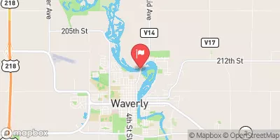
Cedar River At Waverly, Iowa Realtime Data
CEDAR RIVER AT WAVERLY, IOWA
Realtime Data • Report • Conditions
1,620
Discharge (cfs)
5.1
Gauge Height (ft)
USGS 05458300
Streamflow discharge was last observed at 1,620 cfs, and a gauge height of 5.11 feet.
With the
% decrease since yesterday,
the streamflow average over the past 10 days is 1,574 .
Weather today, Tomorrow,
The river has several tributaries, including the Shell Rock River, and several dams. Seasonal trends show higher flows in the spring due to snowmelt and spring rainfall. A quirky fact about the hydrology of the Cedar River is that it has been known to flood, with the most notable flood occurring in 2008, causing significant damage to the surrounding area. Understanding the hydrology of the Cedar River is important for managing water resources and reducing the risk of future floods.
October 22, 2026
| Elevation | 895.0 ft |
| Last Updated | |
| Mean water velocity for discharge computation, feet per second | 0.73 ft/sec |
| Gage height, ft | 5.11 ft |
| Streamflow, ft³/s | 1620.0 ft3/s |
| Temperature, water, °C | 13.3 deg C |
| Percent of Normal | 246% |
| Year Over Year Average | 658 cfs |
| 24hr Flow Prediction | cfs |
| Maximum Recorded | 40,100 cfs |
 Continue with Snoflo Premium