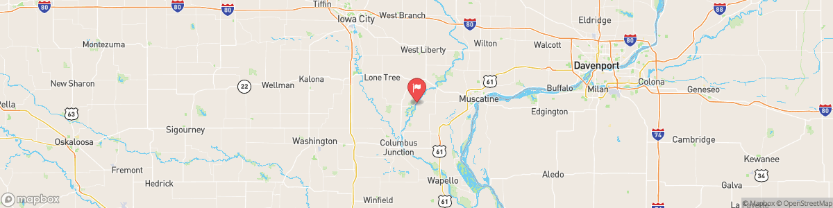
CEDAR RIVER NEAR CONESVILLE
USGS 05465000

FLOOD WATCH
* WHAT...Flash flooding caused by excessive rainfall continues to be possible. * WHERE...Portions of Illinois, including the following areas, Bureau, Carroll, Henry IL, Putnam, Rock Island and Whiteside and east central Iowa, including the following areas, Benton, Cedar, Clinton, Iowa, Jackson, Johnson, Jones, Linn, Muscatine and Scott. * WHEN...Through Saturday morning. * IMPACTS...Excessive runoff may result in flooding of rivers, creeks, streams, and other low-lying and flood-prone locations. Flooding may occur in poor drainage and ...
Today, Showers and thunderstorms likely. Cloudy, with a steady temperature around 72. Northeast wind around 10 mph. Chance of precipitation is 70%. New rainfall amounts between a quarter and half of an inch possible.
Tomorrow, Showers and thunderstorms likely. Cloudy, with a steady temperature around 72. Northeast wind around 10 mph. Chance of precipitation is 70%. New rainfall amounts between a quarter and half of an inch possible.
5-Day Forecast
Long Term Forecast
16-Day Forecast

Get More With Premium