

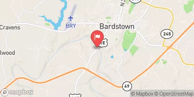
Beech Fork At Bardstown, Ky Realtime Data
BEECH FORK AT BARDSTOWN, KY
Realtime Data • Report • Conditions
13
Discharge (cfs)
2.6
Gauge Height (ft)
USGS 03301000
Streamflow discharge was last observed at 13 cfs, and a gauge height of 2.56 feet.
With the
% decrease since yesterday,
the streamflow average over the past 10 days is 12 .
Weather today, Tomorrow,
The main flow contributors to Beech Fork River are the North Fork Beech Fork and the South Fork Beech Fork. The Beech Fork Dam, located downstream of the streamgauge, affects the river's flow. The flow is highest during the spring due to snowmelt and rainfall, while the summer months see the lowest flow. The hydrology of the Beech Fork River has been impacted by coal mining in the past, which has led to water quality concerns. Despite this, the river is a popular spot for fishing and recreation.
October 16, 2026
| Elevation | 462.0 ft |
| Last Updated | |
| Gage height, ft | 2.56 ft |
| Streamflow, ft³/s | 12.7 ft3/s |
| Percent of Normal | 31% |
| Year Over Year Average | 41 cfs |
| 24hr Flow Prediction | cfs |
| Maximum Recorded | 44,200 cfs |
| Geolocation | 37.80, -85.48 |
 Continue with Snoflo Premium