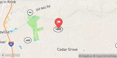
Streamflow discharge was last observed at 6 cfs, and a gauge height of 2.13 feet.
With the
% decrease since yesterday,
the streamflow average over the past 10 days is 12 .
Weather today, Tomorrow,
There are no major tributaries or dams associated with the gauge. Seasonal trends show that flow is highest in the spring and lowest in the fall, with occasional flooding during heavy rainfall events. Interesting facts about the hydrology include that Cedar Creek is a designated Kentucky Wild River, and it is home to a variety of fish species, including bass, catfish, and carp. Overall, the Cedar Creek stream gauge provides valuable data for understanding the hydrology of the area and the impacts of seasonal changes on the ecosystem.
| Elevation | 437.0 ft |
| Last Updated | |
| Gage height, ft | 2.13 ft |
| Streamflow, ft³/s | 6.35 ft3/s |
| Specific conductance, water, unfiltered, microsiemens per centimeter at 25°C | 469.0 uS/cm @25C |
| Dissolved oxygen, water, unfiltered, mg/L | 7.3 mg/l |
| pH, water, unfiltered, field, standard units | 8.2 std units |
| Temperature, water, °C | 23.7 deg C |
| Percent of Normal | 1,620% |
| Year Over Year Average | 1 cfs |
| 24hr Flow Prediction | cfs |
| Maximum Recorded | 4,340 cfs |
| Geolocation | 37.99, -85.64 |