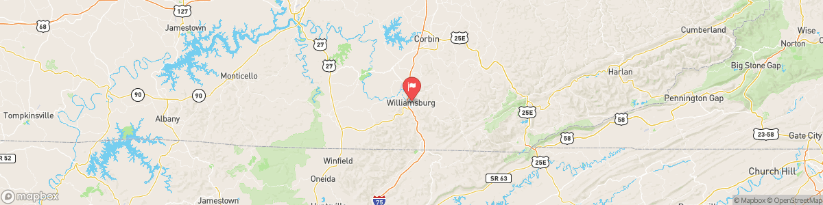
CUMBERLAND RIVER AT WILLIAMSBURG
USGS 03404000

FLOOD ADVISORY
* WHAT...Flooding caused by excessive rainfall continues. * WHERE...Eastern McCreary County in south central Kentucky... Central Whitley County in south central Kentucky... West Central Knox County in southeastern Kentucky... * WHEN...Until 430 PM EDT. * IMPACTS...Minor flooding in low-lying and poor drainage areas. * ADDITIONAL DETAILS... - At 241 PM EDT, Doppler radar indicated heavy rain due to thunderstorms. Minor flooding is ongoing or expected to begin shortly in the advisory area. Between 1 and ...
Today, Showers and thunderstorms likely before 2pm, then showers and possibly a thunderstorm between 2pm and 5pm, then a chance of showers and thunderstorms after 5pm. Patchy fog before 10am. High near 82. Light south wind. Chance of precipitation is 90%. New rainfall amounts between a tenth and quarter of an inch, except higher amounts possible in thunderstorms.
Tomorrow, Showers and thunderstorms likely before 2pm, then showers and possibly a thunderstorm between 2pm and 5pm, then a chance of showers and thunderstorms after 5pm. Patchy fog before 10am. High near 82. Light south wind. Chance of precipitation is 90%. New rainfall amounts between a tenth and quarter of an inch, except higher amounts possible in thunderstorms.
5-Day Forecast
Long Term Forecast
16-Day Forecast

Get More With Premium