

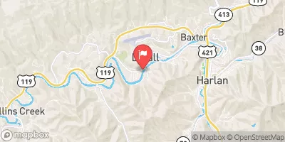
Cumberland River Near Harlan, Ky Realtime Data
CUMBERLAND RIVER NEAR HARLAN, KY
Realtime Data • Report • Conditions
155
Discharge (cfs)
2.0
Gauge Height (ft)
Streamflow discharge was last observed at 155 cfs, and a gauge height of 2.04 feet.
With the
% decrease since yesterday,
the streamflow average over the past 10 days is 185 .
Weather today, Tomorrow,
The river is mainly fed by precipitation and snowmelt, and its flow is affected by several tributaries, including Poor Fork, Martins Fork, and Clover Fork. Additionally, there are several dams along the river, such as the Wolf Creek Dam and the Cheatham Dam, which regulate the flow and maintain water levels for various purposes, including hydroelectric power generation and recreational activities. Seasonally, the river experiences high flows during spring due to snowmelt and increased rainfall, while low flows occur in summer and fall. Interestingly, the Cumberland River was once known as the Shawnee River and was renamed by early American settlers in honor of the Duke of Cumberland.
October 22, 2026
| Elevation | 1,170.0 ft |
| Last Updated | |
| Gage height, ft | 2.04 ft |
| Precipitation, total, in | 0.0 in |
| Streamflow, ft³/s | 155.0 ft3/s |
| Percent of Normal | 96% |
| Year Over Year Average | 162 cfs |
| 24hr Flow Prediction | cfs |
| Maximum Recorded | 24,100 cfs |
 Continue with Snoflo Premium