

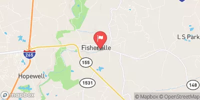
Floyds Fork At Fisherville, Ky Realtime Data
FLOYDS FORK AT FISHERVILLE, KY
Realtime Data • Report • Conditions
33
Discharge (cfs)
1.5
Gauge Height (ft)
USGS 03298000
Streamflow discharge was last observed at 33 cfs, and a gauge height of 1.50 feet.
With the
% decrease since yesterday,
the streamflow average over the past 10 days is 24 .
Weather today, Tomorrow,
The river is fed by numerous small streams and springs and is surrounded by protected land, including the state's largest park. There are no major tributaries or dams along the river. Seasonal trends show increased flow in the spring due to snowmelt and rainfall and decreased flow in the summer and fall. The hydrology of the Floyd's Fork is unique because it flows over karst terrain, which means that the water can disappear into underground caves and reemerge farther downstream. This can cause fluctuations in flow and water quality.
October 15, 2026
| Elevation | 543.0 ft |
| Last Updated | |
| Gage height, ft | 1.5 ft |
| Streamflow, ft³/s | 32.6 ft3/s |
| Specific conductance, water, unfiltered, microsiemens per centimeter at 25°C | 585.0 uS/cm @25C |
| Dissolved oxygen, water, unfiltered, mg/L | 6.9 mg/l |
| pH, water, unfiltered, field, standard units | 7.9 std units |
| Temperature, water, °C | 21.0 deg C |
| Percent of Normal | 143% |
| Year Over Year Average | 23 cfs |
| 24hr Flow Prediction | cfs |
| Maximum Recorded | 10,800 cfs |
| Geolocation | 38.19, -85.46 |
 Continue with Snoflo Premium