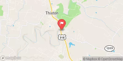
Streamflow discharge was last observed at 176 cfs, and a gauge height of 4.79 feet.
With the
% decrease since yesterday,
the streamflow average over the past 10 days is 421 .
Weather today, Tomorrow,
Washington stream gauge measures the flow of water in the Floyd's Fork, a major tributary of the Salt River in Kentucky. The stream's flow is influenced by several factors, including precipitation, runoff, and water withdrawals for irrigation and public supply. The stream gauge also monitors potential impacts from specific tributaries and dams, such as the Seaton Creek and the Taylorsville Lake Dam. Seasonal trends in flow demonstrate a peak during the spring and fall, with lower flows in the summer and winter months. Interesting facts about the hydrology of the Floyd's Fork include its designation as a Kentucky Wild River and its use for recreation activities such as kayaking and fishing.
| Elevation | 461.0 ft |
| Last Updated | |
| Gage height, ft | 4.79 ft |
| Streamflow, ft³/s | 176.0 ft3/s |
| Specific conductance, water, unfiltered, microsiemens per centimeter at 25°C | 513.0 uS/cm @25C |
| Dissolved oxygen, water, unfiltered, mg/L | 7.0 mg/l |
| pH, water, unfiltered, field, standard units | 8.2 std units |
| Temperature, water, °C | 27.0 deg C |
| Percent of Normal | 230% |
| Year Over Year Average | 76 cfs |
| 24hr Flow Prediction | cfs |
| Maximum Recorded | 18,000 cfs |
| Geolocation | 38.09, -85.55 |