

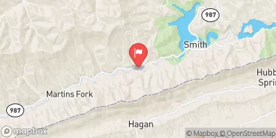
Martins Fork Above Smith, Ky Realtime Data
MARTINS FORK ABOVE SMITH, KY
Realtime Data • Report • Conditions
7
Discharge (cfs)
0.6
Gauge Height (ft)
USGS 03400785
Streamflow discharge was last observed at 7 cfs, and a gauge height of 0.55 feet.
With the
% decrease since yesterday,
the streamflow average over the past 10 days is 10 .
Weather today, Tomorrow,
The river is primarily fed by small tributaries and precipitation runoff. There are no major dams along the river. The flow of the river varies throughout the year, with the highest flows occurring in the spring due to snowmelt and heavy rainfall. In the summer, flows are typically lower due to decreased precipitation. The hydrology of the Martin's Fork River is unique because it flows through the Cumberland Mountains, which creates steep and rocky terrain. This makes the river popular for kayaking and other outdoor activities.
October 25, 2026
| Elevation | 1,376.0 ft |
| Last Updated | |
| Gage height, ft | 0.55 ft |
| Streamflow, ft³/s | 6.79 ft3/s |
| Percent of Normal | 97% |
| Year Over Year Average | 7 cfs |
| 24hr Flow Prediction | cfs |
| Maximum Recorded | 2,160 cfs |
| Geolocation | 36.73, -83.29 |
 Continue with Snoflo Premium