

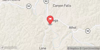
Middle Fork Kentucky River At Tallega, Ky Realtime Data
MIDDLE FORK KENTUCKY RIVER AT TALLEGA, KY
Realtime Data • Report • Conditions
204
Discharge (cfs)
5.7
Gauge Height (ft)
USGS 03281000
Streamflow discharge was last observed at 204 cfs, and a gauge height of 5.69 feet.
With the
% decrease since yesterday,
the streamflow average over the past 10 days is 101 .
Weather today, Tomorrow,
The river is fed by several small tributaries and is affected by the Buckhorn Dam upstream. The flow of the river varies seasonally, with high flows during the spring and lower flows in the summer and fall. The hydrology of the Middle Fork Kentucky River is of interest to environmentalists and recreational enthusiasts alike, as the river is a popular spot for fishing and kayaking. Interestingly, the river is named after the Kentucky bluegrass region, which was home to many indigenous tribes before European settlement.
October 15, 2026
| Elevation | 669.0 ft |
| Last Updated | |
| Streamflow, ft³/s | 204.0 ft3/s |
| Gage height, ft | 5.69 ft |
| Precipitation, total, in | 0.0 in |
| Surface velocity at point in stream, feet per second | 1.31 ft/sec |
| Percent of Normal | 187% |
| Year Over Year Average | 109 cfs |
| 24hr Flow Prediction | cfs |
| Maximum Recorded | 13,900 cfs |
| Geolocation | 37.56, -83.59 |
 Continue with Snoflo Premium