

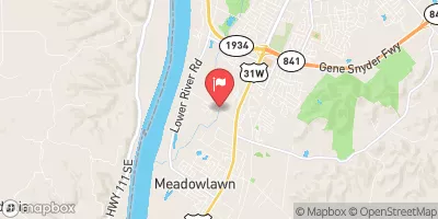
Mill Creek At Orell Road Near Louisville, Ky Realtime Data
MILL CREEK AT ORELL ROAD NEAR LOUISVILLE, KY
Realtime Data • Report • Conditions
0
Discharge (cfs)
2.3
Gauge Height (ft)
Streamflow discharge was last observed at 54 cfs, and a gauge height of 2.29 feet.
With the
% decrease since yesterday,
the streamflow average over the past 10 days is 6 .
Weather today, Tomorrow,
The main contributors to the flow are stormwater runoff and wastewater treatment plant discharge. There are no significant tributaries or dams in the immediate area. Seasonal trends show higher flows in the spring due to snowmelt and spring rains, and lower flows in the summer and fall. The hydrology of this area is affected by urbanization and development, which can result in flash flooding during heavy rainfall. An interesting fact is that the Mill Creek was once used as a source of drinking water for the city of Louisville in the 19th century, but pollution and contamination led to its abandonment as a water source.
September 19, 2026
| Elevation | 416.0 ft |
| Last Updated | |
| Gage height, ft | 2.29 ft |
| Streamflow, ft³/s | 53.7 ft3/s |
| Specific conductance, water, unfiltered, microsiemens per centimeter at 25°C | 196.0 uS/cm @25C |
| Dissolved oxygen, water, unfiltered, mg/L | 1.0 mg/l |
| pH, water, unfiltered, field, standard units | 7.2 std units |
| Temperature, water, °C | 24.0 deg C |
| Percent of Normal | 0% |
| Year Over Year Average | 1 cfs |
| 24hr Flow Prediction | cfs |
| Maximum Recorded | 1,960 cfs |
| Geolocation | 38.08, -85.89 |
 Continue with Snoflo Premium