

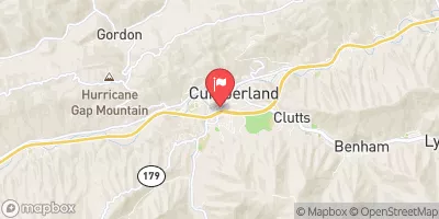
Poor Fork At Cumberland, Ky Realtime Data
POOR FORK AT CUMBERLAND, KY
Realtime Data • Report • Conditions
37
Discharge (cfs)
3.5
Gauge Height (ft)
USGS 03400500
Streamflow discharge was last observed at 37 cfs, and a gauge height of 3.51 feet.
With the
% decrease since yesterday,
the streamflow average over the past 10 days is 46 .
Weather today, Tomorrow,
There are no significant tributaries or dams that could contribute to the flow. Seasonal trends show that the flow is lowest in the summer months due to decreased precipitation in the region. Interestingly, the hydrology of the area has been impacted by coal mining operations and resulting land subsidence. This has caused changes in the flow of nearby streams and could potentially impact the flow of the Cumberland River in the future.
October 22, 2026
| Elevation | 1,446.0 ft |
| Last Updated | |
| Gage height, ft | 3.51 ft |
| Streamflow, ft³/s | 36.5 ft3/s |
| Precipitation, total, in | 0.0 in |
| Percent of Normal | 100% |
| Year Over Year Average | 37 cfs |
| 24hr Flow Prediction | cfs |
| Maximum Recorded | 6,590 cfs |
| Geolocation | 36.97, -82.99 |
 Continue with Snoflo Premium