

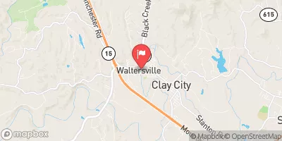
Red River At Clay City, Ky Realtime Data
RED RIVER AT CLAY CITY, KY
Realtime Data • Report • Conditions
962
Discharge (cfs)
5.7
Gauge Height (ft)
USGS 03283500
Streamflow discharge was last observed at 962 cfs, and a gauge height of 5.69 feet.
With the
% decrease since yesterday,
the streamflow average over the past 10 days is 144 .
Weather today, Tomorrow,
The gauge is not located near any significant dams or tributaries. The flow rate is generally highest in the spring due to snowmelt and spring rains, and lowest in the late summer and fall. Interestingly, the Red River is known for its unique red color, caused by high levels of iron oxide in the sediment. Overall, the Red River at Clay City provides important data for flood forecasting and water resource management in the region.
October 16, 2026
| Elevation | 641.0 ft |
| Last Updated | |
| Gage height, ft | 5.69 ft |
| Precipitation, total, in | 0.0 in |
| Streamflow, ft³/s | 962.0 ft3/s |
| Percent of Normal | 1,577% |
| Year Over Year Average | 61 cfs |
| 24hr Flow Prediction | cfs |
| Maximum Recorded | 25,100 cfs |
| Geolocation | 37.86, -83.93 |
 Continue with Snoflo Premium