 Get More With Premium


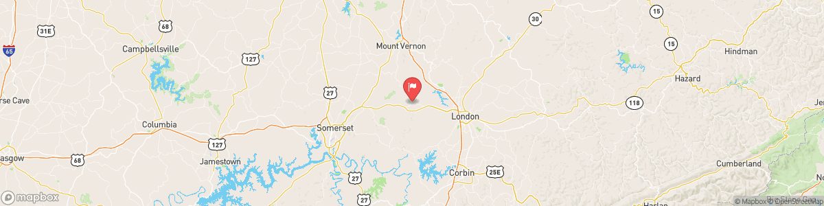
ROCKCASTLE RIVER AT BILLOWS
USGS 03406500
SPECIAL WEATHER STATEMENT
Clear skies, light winds, and lingering low-level moisture are helping areas of valley fog to develop and become dense early this morning. This fog will continue to expand through the night but likely remain the densest in the valleys. Visibilities will be below a quarter of a mile at times in the thickest of the fog. Be sure to slow down and use your low beam headlights when you encounter any fog.

Today, Sunny, with a high near 87. Calm wind becoming west southwest 5 to 7 mph in the afternoon.
Tomorrow, Sunny, with a high near 87. Calm wind becoming west southwest 5 to 7 mph in the afternoon.
5-Day Forecast
Long Term Forecast
16-Day Forecast

