

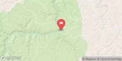
South Fork Cumberland River Near Stearns, Ky Realtime Data
SOUTH FORK CUMBERLAND RIVER NEAR STEARNS, KY
Realtime Data • Report • Conditions
169
Discharge (cfs)
2.0
Gauge Height (ft)
Streamflow discharge was last observed at 169 cfs, and a gauge height of 1.95 feet.
With the
% decrease since yesterday,
the streamflow average over the past 10 days is 80 .
Weather today, Tomorrow,
The primary constituents of the river are sediment and nutrients, which can have negative impacts on water quality. The river has several tributaries, including White Oak Creek and Bear Creek, and is impounded by the Wolf Creek Dam. Seasonal trends show higher flow during the winter and spring, while summer and fall see lower flows. Interestingly, the river has a history of flooding, with the most severe flood occurring in 1977. Overall, the South Fork Cumberland River is an important hydrological feature in the region, with significant impacts on water quality and flooding patterns.
October 6, 2026
| Elevation | 813.0 ft |
| Last Updated | |
| Gage height, ft | 1.95 ft |
| Streamflow, ft³/s | 169.0 ft3/s |
| Percent of Normal | 215% |
| Year Over Year Average | 79 cfs |
| 24hr Flow Prediction | cfs |
| Maximum Recorded | 58,500 cfs |
| Geolocation | 36.63, -84.53 |
 Continue with Snoflo Premium