

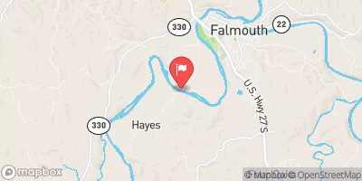
South Fork Licking River At Hayes, Ky Realtime Data
SOUTH FORK LICKING RIVER AT HAYES, KY
Realtime Data • Report • Conditions
79
Discharge (cfs)
3.0
Gauge Height (ft)
USGS 03253000
Streamflow discharge was last observed at 79 cfs, and a gauge height of 3.02 feet.
With the
% decrease since yesterday,
the streamflow average over the past 10 days is 46 .
Weather today, Tomorrow,
The river is fed by various smaller streams and tributaries and is regulated by the Kincaid Dam upstream. Seasonally, the river sees the highest flows during the spring months due to snowmelt and rainfall, while summer and fall months see lower average flows. Interestingly, the South Fork Licking River is known for its historical importance as a major transportation route for early settlers and later, for carrying logs downstream to sawmills. Today, the river is primarily used for recreational activities such as fishing and paddling.
October 22, 2026
| Elevation | 568.0 ft |
| Last Updated | |
| Gage height, ft | 3.02 ft |
| Precipitation, total, in | 0.0 in |
| Streamflow, ft³/s | 78.8 ft3/s |
| Percent of Normal | 119% |
| Year Over Year Average | 66 cfs |
| 24hr Flow Prediction | cfs |
| Maximum Recorded | 32,100 cfs |
| Geolocation | 38.66, -84.35 |
 Continue with Snoflo Premium