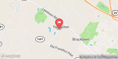
Streamflow discharge was last observed at 49 cfs, and a gauge height of 1.54 feet.
With the
% decrease since yesterday,
the streamflow average over the past 10 days is 64 .
Weather today, Tomorrow,
The stream gauge serves as a key source of information for water resource managers, researchers, and policymakers in the region. The Yarnallton Dam is located upstream from the gauge station and affects the flow of water downstream. The hydrology of the area is influenced by seasonal trends, with the highest flows typically occurring in the spring and fall. Interestingly, the Town Branch flows through the heart of downtown Lexington, providing a unique and important water resource for the city.
| Elevation | 842.0 ft |
| Last Updated | |
| Gage height, ft | 1.54 ft |
| Streamflow, ft³/s | 48.8 ft3/s |
| Specific conductance, water, unfiltered, microsiemens per centimeter at 25°C | 697.0 uS/cm @25C |
| Dissolved oxygen, water, unfiltered, mg/L | 8.6 mg/l |
| pH, water, unfiltered, field, standard units | 7.9 std units |
| Temperature, water, degC | 22.0 deg C |
| Precipitation, total, in | 0.0 in |
| Percent of Normal | 87% |
| Year Over Year Average | 60 cfs |
| 24hr Flow Prediction | cfs |
| Maximum Recorded | 2,490 cfs |
| Geolocation | 38.10, -84.59 |