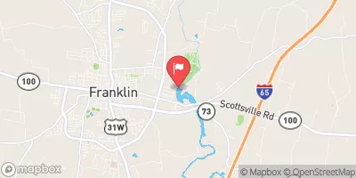
Streamflow discharge was last observed at 37 cfs, and a gauge height of 7.13 feet.
With the
% decrease since yesterday,
the streamflow average over the past 10 days is 68 .
Weather today, Tomorrow,
The primary flow contributors are precipitation and runoff from surrounding land use, which includes agriculture and urban development. No major dams or tributaries are located near this stream gauge. Seasonal trends show higher flows during the winter and spring months due to increased precipitation and snowmelt. Interesting facts about the hydrology of this area include the presence of karst terrain, which can cause rapid and unpredictable changes in streamflow during heavy rainfall events. Additionally, the West Fork of Drakes Creek is noted for its diverse aquatic species, including several species of endangered mussels.
| Elevation | 592.0 ft |
| Last Updated | |
| Gage height, ft | 7.13 ft |
| Streamflow, ft³/s | 36.7 ft3/s |
| Percent of Normal | 54% |
| Year Over Year Average | 68 cfs |
| 24hr Flow Prediction | cfs |
| Maximum Recorded | 11,000 cfs |
| Geolocation | 36.72, -86.55 |