

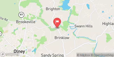
Hawlings River Near Sandy Spring, Md Realtime Data
Test Message
Until 2026-10-08T17:33:32+00:00 • National Weather Service
Monitoring message only. Please disregard.
Until 2026-10-08T17:33:32+00:00 • National Weather Service
Monitoring message only. Please disregard.
HAWLINGS RIVER NEAR SANDY SPRING, MD
Realtime Data • Report • Conditions
9
Discharge (cfs)
0.5
Gauge Height (ft)
USGS 01591700
Streamflow discharge was last observed at 9 cfs, and a gauge height of 0.46 feet.
With the
% decrease since yesterday,
the streamflow average over the past 10 days is 9 .
Weather today, Tomorrow,
The river is fed by several smaller streams and tributaries and it is a part of the larger Patuxent River watershed. There are no major dams or reservoirs along the Hawlings River. Seasonal trends show that the river's flow is typically highest in the spring due to snowmelt and precipitation, and lowest in late summer and early fall. Interestingly, the Hawlings River was once known for its abundant populations of American eels, which travel up the river from the ocean to spawn in freshwater.
October 8, 2026
| Elevation | 307.0 ft |
| Last Updated | |
| Gage height, ft | 0.46 ft |
| Stream water level elevation above NAVD 1988, in ft | 303.19 ft |
| Streamflow, ft³/s | 8.6 ft3/s |
| Percent of Normal | 101% |
| Year Over Year Average | 8 cfs |
| 24hr Flow Prediction | cfs |
| Maximum Recorded | 2,490 cfs |
 Continue with Snoflo Premium