

Sideling Hill Creek Near Bellegrove, Md Realtime Data
SIDELING HILL CREEK NEAR BELLEGROVE, MD
Realtime Data • Report • Conditions
31
Discharge (cfs)
0.9
Gauge Height (ft)
Streamflow discharge was last observed at 31 cfs, and a gauge height of 0.92 feet.
With the
% decrease since yesterday,
the streamflow average over the past 10 days is 38 .
Weather today, Tomorrow,
The creek is primarily fed by precipitation and groundwater, and its flow can be affected by seasonal trends, such as increased flow during the spring snowmelt or after heavy rainfall. There are no significant tributaries or dams directly associated with this stream gauge. However, the hydrology of the area is interesting due to the geology of the surrounding region, which includes the famous Sideling Hill cut in the Appalachian Mountains. The creek flows through a mix of forested and agricultural land, and it provides important habitat for fish and other aquatic species.
October 15, 2026
| Elevation | 482.0 ft |
| Last Updated | |
| Gage height, ft | 0.92 ft |
| Stream water level elevation above NAVD 1988, in ft | 440.67 ft |
| Streamflow, ft³/s | 31.0 ft3/s |
| Percent of Normal | 459% |
| Year Over Year Average | 7 cfs |
| 24hr Flow Prediction | cfs |
| Maximum Recorded | 11,900 cfs |
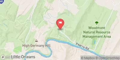
| Geolocation | 39.65, -78.34 |
 Continue with Snoflo Premium