

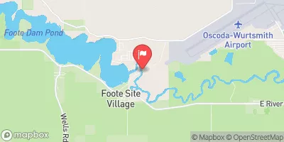
Au Sable River Near Au Sable, Mi Realtime Data
AU SABLE RIVER NEAR AU SABLE, MI
Realtime Data • Report • Conditions
1,160
Discharge (cfs)
8.5
Gauge Height (ft)
Streamflow discharge was last observed at 1,160 cfs, and a gauge height of 8.51 feet.
With the
% decrease since yesterday,
the streamflow average over the past 10 days is 1,248 .
Weather today, Tomorrow,
The river is fed by several tributaries including the East Branch, Middle Branch, and West Branch. The primary constituents of the river are rain and snowmelt. The river also passes through several dams, including the Cooke Hydroelectric Dam and the Foote Dam. The flow of the river varies seasonally with the highest flows occurring in the spring due to snowmelt and the lowest flows occurring in the fall. The Au Sable River is known for its clear, cold water and is home to a variety of fish species, including brook and brown trout. Interesting fact: The river was named by French explorers, who called it "Au Sable" meaning "sandy" in reference to the riverbed.
October 6, 2026
| Elevation | 587.0 ft |
| Last Updated | |
| Gage height, ft | 8.51 ft |
| Stream water level elevation above NAVD 1988, in ft | 591.87 ft |
| Streamflow, ft³/s | 1160.0 ft3/s |
| Dissolved oxygen, water, unfiltered, mg/L | 5.1 mg/l |
| Temperature, water, °C | 17.0 deg C |
| Percent of Normal | 101% |
| Year Over Year Average | 1,140 cfs |
| 24hr Flow Prediction | cfs |
| Maximum Recorded | 7,180 cfs |
| Geolocation | 44.44, -83.43 |
 Continue with Snoflo Premium