

Brule River At Us Highway 2 Near Florence, Wi Realtime Data
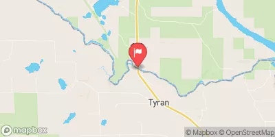
BRULE RIVER AT US HIGHWAY 2 NEAR FLORENCE, WI
Realtime Data • Report • Conditions
208
Discharge (cfs)
3.5
Gauge Height (ft)
Streamflow discharge was last observed at 208 cfs, and a gauge height of 3.54 feet.
With the
% decrease since yesterday,
the streamflow average over the past 10 days is 232 .
Weather today, Tomorrow,
The river is fed by numerous small tributaries and groundwater sources, with the most significant being the Brule and Pine rivers. Its flow is mainly influenced by seasonal snowmelt and rainfall, with the highest flows occurring in the spring and fall. The river has several small dams, including the Brule River Dam, which was built in the early 1900s for logging purposes. Interesting facts include the river being designated as a National Scenic Riverway in 1972, and it also served as a filming location for the movie "A River Runs Through It."
October 22, 2026
| Elevation | 1,241.0 ft |
| Last Updated | |
| Gage height, ft | 3.54 ft |
| Streamflow, ft³/s | 208.0 ft3/s |
| Stream water level elevation above NAVD 1988, in ft | 1233.5 ft |
| Percent of Normal | 77% |
| Year Over Year Average | 273 cfs |
| 24hr Flow Prediction | cfs |
| Maximum Recorded | 3,360 cfs |
 Continue with Snoflo Premium