

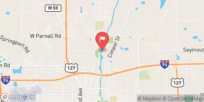
Grand River At Jackson, Mi Realtime Data
GRAND RIVER AT JACKSON, MI
Realtime Data • Report • Conditions
79
Discharge (cfs)
9.2
Gauge Height (ft)
Streamflow discharge was last observed at 79 cfs, and a gauge height of 9.15 feet.
With the
% decrease since yesterday,
the streamflow average over the past 10 days is 127 .
Weather today, Tomorrow,
The river flows through several urban and rural areas and receives water from various sources, including tributaries and precipitation. There are several dams along the river, which affect the flow and water levels. During the spring and summer months, the flow typically increases due to snowmelt and precipitation. However, there can be significant fluctuations in flow due to storms and drought. One interesting fact about the Grand River is that it was once used as a transportation route for goods and people, and remnants of old locks and canals can still be seen along the river.
October 11, 2026
| Elevation | 911.0 ft |
| Last Updated | |
| Gage height, ft | 9.15 ft |
| Stream water level elevation above NAVD 1988, in ft | 908.76 ft |
| Streamflow, ft³/s | 78.8 ft3/s |
| Percent of Normal | 114% |
| Year Over Year Average | 69 cfs |
| 24hr Flow Prediction | cfs |
| Maximum Recorded | 835 cfs |
 Continue with Snoflo Premium