

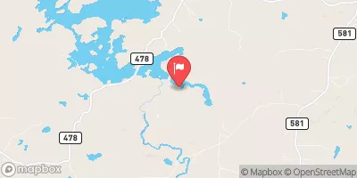
Greenwood Release Near Greenwood, Mi Realtime Data
GREENWOOD RELEASE NEAR GREENWOOD, MI
Realtime Data • Report • Conditions
26
Discharge (cfs)
2.4
Gauge Height (ft)
USGS 04057814
Streamflow discharge was last observed at 26 cfs, and a gauge height of 2.43 feet.
With the
% decrease since yesterday,
the streamflow average over the past 10 days is 26 .
Weather today, Tomorrow,
There are no significant tributaries or dams that affect the hydrology of this area. In terms of seasonal trends, the flow is typically highest in the spring and lowest in the fall. Interestingly, the flow rates can also be affected by upstream management practices. For example, the release may be increased to aid in downstream migration of fish. The Greenwood release is an important source of data for water resource management and conservation efforts in the area.
October 20, 2026
| Elevation | 1,478.0 ft |
| Last Updated | |
| Gage height, ft | 2.43 ft |
| Stream water level elevation above NAVD 1988, in ft | 1476.34 ft |
| Streamflow, ft³/s | 26.2 ft3/s |
| Percent of Normal | 104% |
| Year Over Year Average | 25 cfs |
| 24hr Flow Prediction | cfs |
| Maximum Recorded | 53 cfs |
| Geolocation | 46.44, -87.80 |
 Continue with Snoflo Premium