

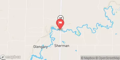
Manistee River Near Sherman, Mi Realtime Data
MANISTEE RIVER NEAR SHERMAN, MI
Realtime Data • Report • Conditions
1,070
Discharge (cfs)
12.2
Gauge Height (ft)
Streamflow discharge was last observed at 1,070 cfs, and a gauge height of 12.16 feet.
With the
% decrease since yesterday,
the streamflow average over the past 10 days is 973 .
Weather today, Tomorrow,
The river is fed by numerous streams and tributaries, including the Pine River and Bear Creek, and is home to several hydroelectric dams. In the summer, the river sees increased recreational use, including fishing and kayaking. The river is also known for its unique hydrology, with several sections featuring deep pools and rapids, as well as a natural phenomenon known as the "boiling" section, where underground springs bubble up to the surface. Despite these quirks, the Manistee River is an important source of water for local industries and communities.
October 15, 2026
| Elevation | 820.0 ft |
| Last Updated | |
| Gage height, ft | 12.16 ft |
| Stream water level elevation above NAVD 1988, in ft | 816.15 ft |
| Streamflow, ft³/s | 1070.0 ft3/s |
| Dissolved oxygen, water, unfiltered, mg/L | 9.8 mg/l |
| Temperature, water, °C | 12.7 deg C |
| Percent of Normal | 106% |
| Year Over Year Average | 1,004 cfs |
| 24hr Flow Prediction | cfs |
| Maximum Recorded | 6,210 cfs |
 Continue with Snoflo Premium