

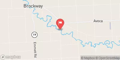
Mill Creek Near Avoca, Mi Realtime Data
MILL CREEK NEAR AVOCA, MI
Realtime Data • Report • Conditions
9
Discharge (cfs)
0.8
Gauge Height (ft)
USGS 04159900
Streamflow discharge was last observed at 9 cfs, and a gauge height of 0.81 feet.
With the
% decrease since yesterday,
the streamflow average over the past 10 days is 13 .
Weather today, Tomorrow,
Clair River. The primary flow provider for Mill Creek is precipitation, with occasional contributions from agricultural runoff. The stream is not impounded by any major dams, but does have several small road crossings which can cause temporary flow reductions during heavy rainfall events. Seasonal trends show that Mill Creek experiences its highest flows during the spring snowmelt and early summer rain events. Interesting fact: Mill Creek was the site of the first oil well drilled in Michigan in 1925, but production was short-lived.
October 15, 2026
| Elevation | 714.0 ft |
| Last Updated | |
| Gage height, ft | 0.81 ft |
| Streamflow, ft³/s | 8.98 ft3/s |
| Stream water level elevation above NAVD 1988, in ft | 711.73 ft |
| Percent of Normal | 71% |
| Year Over Year Average | 13 cfs |
| 24hr Flow Prediction | cfs |
| Maximum Recorded | 2,580 cfs |
| Geolocation | 43.05, -82.73 |
 Continue with Snoflo Premium