

Saline River Near Saline, Mi Realtime Data
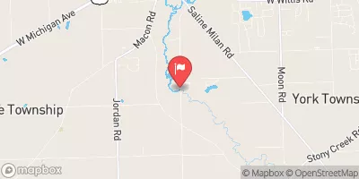
SALINE RIVER NEAR SALINE, MI
Realtime Data • Report • Conditions
42
Discharge (cfs)
5.1
Gauge Height (ft)
Streamflow discharge was last observed at 42 cfs, and a gauge height of 5.14 feet.
With the
% decrease since yesterday,
the streamflow average over the past 10 days is 73 .
Weather today, Tomorrow,
The river's flow is influenced by precipitation and groundwater discharge, and is monitored by the USGS streamgauge. The primary constituents of the river are sediment and nutrients from agricultural runoff. The river has several tributaries, including the Mill Pond Creek and the Saline Millrace. There are no major dams on the Saline River, but there are several small dams on its tributaries. The river experiences seasonal fluctuations in flow, with higher flows in the spring due to snowmelt and runoff, and lower flows in the summer and fall. Interestingly, the Saline River is known for its large population of crayfish.
October 10, 2026
| Elevation | 711.0 ft |
| Last Updated | |
| Gage height, ft | 5.14 ft |
| Stream water level elevation above NAVD 1988, in ft | 707.84 ft |
| Streamflow, ft³/s | 42.2 ft3/s |
| Percent of Normal | 158% |
| Year Over Year Average | 27 cfs |
| 24hr Flow Prediction | cfs |
| Maximum Recorded | 1,830 cfs |
 Continue with Snoflo Premium