

Schweitzer Creek Near Palmer, Mi Realtime Data
SCHWEITZER CREEK NEAR PALMER, MI
Realtime Data • Report • Conditions
7
Discharge (cfs)
2.9
Gauge Height (ft)
USGS 04058200
Streamflow discharge was last observed at 7 cfs, and a gauge height of 2.91 feet.
With the
% decrease since yesterday,
the streamflow average over the past 10 days is 6 .
Weather today, Tomorrow,
The creek is fed by precipitation, groundwater, and snowmelt, with occasional contributions from nearby tributaries. There are no major dams on the creek, but there are a few small ones that may have some impact on flow. Seasonal trends show that flow is highest in the spring due to snowmelt and rainfall, while low flow occurs in the late summer and fall. Interesting facts about the creek include its location in the heart of Michigan's Upper Peninsula and its importance to the local ecosystem.
October 14, 2026
| Elevation | 1,277.0 ft |
| Last Updated | |
| Gage height, ft | 2.91 ft |
| Precipitation, total, in | 0.0 in |
| Stream water level elevation above NAVD 1988, in ft | 1271.36 ft |
| Streamflow, ft³/s | 6.56 ft3/s |
| Percent of Normal | 113% |
| Year Over Year Average | 6 cfs |
| 24hr Flow Prediction | cfs |
| Maximum Recorded | 525 cfs |
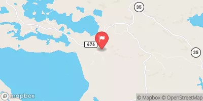
| Geolocation | 46.41, -87.62 |
 Continue with Snoflo Premium