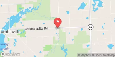
Streamflow discharge was last observed at 37 cfs, and a gauge height of 1.35 feet.
With the
% decrease since yesterday,
the streamflow average over the past 10 days is 48 .
Weather today, Tomorrow,
The major constituents of the river's flow are precipitation, groundwater, and surface water runoff. The river has several tributaries, including the North Branch Flint River and Holloway Drain. There are no major dams on the South Branch Flint River. The river typically experiences high flow in the spring due to snowmelt and runoff, while low flow is observed during the summer months. Interestingly, the South Branch Flint River is known for its trout fishing opportunities, with brown and rainbow trout being the most common species.
| Elevation | 768.0 ft |
| Last Updated | |
| Gage height, ft | 1.35 ft |
| Streamflow, ft³/s | 36.6 ft3/s |
| Stream water level elevation above NAVD 1988, in ft | 764.35 ft |
| Percent of Normal | 51% |
| Year Over Year Average | 73 cfs |
| 24hr Flow Prediction | cfs |
| Maximum Recorded | 2,080 cfs |
| Geolocation | 43.16, -83.35 |