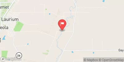
Streamflow discharge was last observed at 24 cfs, and a gauge height of 3.80 feet.
With the
% decrease since yesterday,
the streamflow average over the past 10 days is 47 .
Weather today, Tomorrow,
The river is not impacted by any major dams, but there are several smaller ones along its course. Seasonally, the river experiences low flow in the winter and high flow in the spring due to snowmelt. Interestingly, the river is known for its strong bedrock channel, which can cause rapids and waterfalls. The hydrology of the Trap Rock River is important for understanding the local ecosystem and its water resources. College students studying hydrology or environmental science may find this information useful for research projects.
| Elevation | 633.0 ft |
| Last Updated | |
| Gage height, ft | 3.8 ft |
| Precipitation, total, in | 0.0 in |
| Stream water level elevation above NAVD 1988, in ft | 625.5 ft |
| Streamflow, ft³/s | 24.0 ft3/s |
| Percent of Normal | 114% |
| Year Over Year Average | 21 cfs |
| 24hr Flow Prediction | cfs |
| Maximum Recorded | 1,030 cfs |