

Upper River Rouge At Farmington, Mi Realtime Data
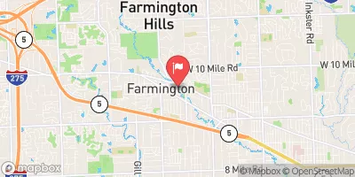
UPPER RIVER ROUGE AT FARMINGTON, MI
Realtime Data • Report • Conditions
8
Discharge (cfs)
3.0
Gauge Height (ft)
Streamflow discharge was last observed at 8 cfs, and a gauge height of 3.00 feet.
With the
% decrease since yesterday,
the streamflow average over the past 10 days is 21 .
Weather today, Tomorrow,
The river is fed by several small streams and tributaries and flows through the urban and suburban areas of southeast Michigan. The gauge provides data on the water flow, which can be affected by precipitation and melting snow in the winter and spring. The hydrology of the river is impacted by the numerous dams and stormwater management systems in the area. Interestingly, the Rouge River was once known as the most polluted river in the United States but has undergone significant restoration efforts in recent years. The data from the stream gauge is useful for monitoring water quality and managing the river's ecosystem.
October 10, 2026
| Elevation | 692.0 ft |
| Last Updated | |
| Gage height, ft | 3.0 ft |
| Streamflow, ft³/s | 7.51 ft3/s |
| Stream water level elevation above NAVD 1988, in ft | 693.4 ft |
| Percent of Normal | 92% |
| Year Over Year Average | 8 cfs |
| 24hr Flow Prediction | cfs |
| Maximum Recorded | 471 cfs |
 Continue with Snoflo Premium