

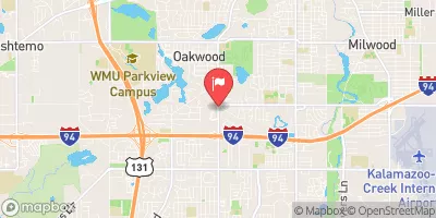
West Fork Portage Creek At Kalamazoo, Mi Realtime Data
WEST FORK PORTAGE CREEK AT KALAMAZOO, MI
Realtime Data • Report • Conditions
11
Discharge (cfs)
2.5
Gauge Height (ft)
Streamflow discharge was last observed at 11 cfs, and a gauge height of 2.54 feet.
With the
% decrease since yesterday,
the streamflow average over the past 10 days is 12 .
Weather today, Tomorrow,
The streamgauge is funded by the US Geological Survey and provides data on water levels, flow rates, and precipitation. The watershed is primarily urbanized and includes several small tributaries and dams, including the Westnedge Dam. Seasonally, flow rates can vary significantly due to precipitation and snowmelt. Despite the urbanization, the watershed still supports a diverse array of aquatic life, including brook trout and benthic invertebrates. Quirky fact: the West Fork Portage Creek was named for the French word "portage" meaning to carry a canoe or boat overland, as it was once an important trade route for Native Americans and early settlers.
October 21, 2026
| Elevation | 883.0 ft |
| Last Updated | |
| Gage height, ft | 2.54 ft |
| Stream water level elevation above NAVD 1988, in ft | 860.2 ft |
| Streamflow, ft³/s | 11.1 ft3/s |
| Percent of Normal | 84% |
| Year Over Year Average | 13 cfs |
| 24hr Flow Prediction | cfs |
| Maximum Recorded | 75 cfs |
| Geolocation | 42.24, -85.61 |
 Continue with Snoflo Premium