

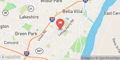
Gravois Creek Near Mehlville, Mo Realtime Data
GRAVOIS CREEK NEAR MEHLVILLE, MO
Realtime Data • Report • Conditions
2
Discharge (cfs)
2.6
Gauge Height (ft)
USGS 07010180
Streamflow discharge was last observed at 2 cfs, and a gauge height of 2.59 feet.
With the
% decrease since yesterday,
the streamflow average over the past 10 days is 6 .
Weather today, Tomorrow,
The creek's watershed includes a mix of urban and suburban development, which can affect water quality. The creek has several tributaries, including the Little River and the Meramec River, which can contribute to flow during heavy rain events. There are no major dams on the Gravois Creek. Seasonally, the flow tends to be highest during the spring and summer due to increased rainfall. It is interesting to note that the Gravois Creek was named after the French word for "heavy" or "strong," likely referring to its flow during heavy rains.
October 23, 2026
| Elevation | 439.0 ft |
| Last Updated | |
| Gage height, ft | 2.59 ft |
| Streamflow, ft³/s | 2.03 ft3/s |
| Percent of Normal | 100% |
| Year Over Year Average | 2 cfs |
| 24hr Flow Prediction | cfs |
| Maximum Recorded | 3,460 cfs |
| Geolocation | 38.53, -90.30 |
 Continue with Snoflo Premium