

Salt River At Hagers Grove, Mo Realtime Data
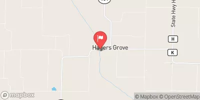
SALT RIVER AT HAGERS GROVE, MO
Realtime Data • Report • Conditions
14
Discharge (cfs)
-0.5
Gauge Height (ft)
USGS 05502300
Streamflow discharge was last observed at 14 cfs, and a gauge height of -0.53 feet.
With the
% decrease since yesterday,
the streamflow average over the past 10 days is 64 .
Weather today, Tomorrow,
This river is fed by several smaller streams and creeks, including the North Fork Salt River and the Middle Fork Salt River. There are no major dams on this river, but it is subject to seasonal variations in flow due to precipitation and snowmelt. In the late summer, the river can become shallow and slow-moving. Interestingly, the Salt River got its name from the salt springs that were once found along its banks.
October 22, 2026
| Elevation | 707.0 ft |
| Last Updated | |
| Gage height, ft | -0.53 ft |
| Streamflow, ft³/s | 14.3 ft3/s |
| Percent of Normal | 176% |
| Year Over Year Average | 8 cfs |
| 24hr Flow Prediction | cfs |
| Maximum Recorded | 40,500 cfs |
 Continue with Snoflo Premium