

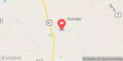
Salt River Near New London, Mo Realtime Data
SALT RIVER NEAR NEW LONDON, MO
Realtime Data • Report • Conditions
1,680
Discharge (cfs)
4.9
Gauge Height (ft)
USGS 05508000
Streamflow discharge was last observed at 1,680 cfs, and a gauge height of 4.85 feet.
With the
% decrease since yesterday,
the streamflow average over the past 10 days is 1,286 .
Weather today, Tomorrow,
The primary flow contributors to the Salt River are precipitation and runoff. The river is also affected by potential tributaries and dams such as the North Fork Salt River and the Mark Twain Lake Dam. Seasonal trends include higher flow rates in the spring due to snowmelt and rainfall, and lower flow rates in the summer and fall. Interesting facts include the Salt River being named for its salty taste due to natural salt springs, and being a popular spot for recreational activities such as fishing and kayaking.
October 11, 2026
| Elevation | 482.0 ft |
| Last Updated | |
| Gage height, ft | 4.85 ft |
| Streamflow, ft³/s | 1680.0 ft3/s |
| Percent of Normal | 2,024% |
| Year Over Year Average | 83 cfs |
| 24hr Flow Prediction | cfs |
| Maximum Recorded | 16,200 cfs |
 Continue with Snoflo Premium