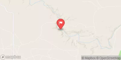
Streamflow discharge was last observed at 6 cfs, and a gauge height of 5.30 feet.
With the
% decrease since yesterday,
the streamflow average over the past 10 days is 7 .
Weather today, Tomorrow,
Its flow is mainly derived from snowmelt and monsoon rains. The river is fed by several tributaries, including the Gallinas and Sapello rivers. The Santa Rosa Dam, constructed in 1980, acts as a major control structure for the water flow. The river experiences seasonal trends with peak flows occurring in the spring and summer, while dry periods occur in the fall and winter. Interestingly, the Pecos River is known for its unique hydrology, where the water can disappear underground and reappear at various locations downstream. This phenomenon is known as a "losing stream" and contributes to the distinctive ecology of the area.
| Elevation | 4,761.0 ft |
| Last Updated | |
| Gage height, ft | 5.3 ft |
| Streamflow, ft³/s | 6.27 ft3/s |
| Percent of Normal | 60% |
| Year Over Year Average | 11 cfs |
| 24hr Flow Prediction | cfs |
| Maximum Recorded | 6,810 cfs |