* WHAT...Visibility one quarter mile or less in dense fog.
* WHERE...Curry County, De Baca County, Roosevelt County, and Chaves
County Plains.
* WHEN...Until 9 AM MST Thursday.
* IMPACTS...Low visibility could make driving conditions hazardous.
Dense Fog Advisory
Until 2026-11-19T09:00:00-07:00
•
National Weather Service
* WHAT...Visibility one quarter mile or less in dense fog.
* WHERE...Curry County, De Baca County, Roosevelt County, and Chaves
County Plains.
* WHEN...Until 9 AM MST Thursday.
* IMPACTS...Low visibility could make driving conditions hazardous.
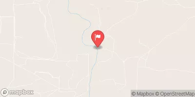
PECOS RIVER NEAR DUNLAP, NM
Realtime Data
•
Report
•
Conditions
54
Discharge (cfs)
0.7
Gauge Height (ft)
Streamflow discharge was last observed at 54 cfs, and a gauge height of 0.69 feet.
With the
% decrease since yesterday,
the streamflow average over the past 10 days is 64 .
Weather today, Tomorrow,
The primary constituents of the river are sediment and dissolved minerals, including calcium, magnesium, and sulfate. The river is not significantly impacted by tributaries or dams in the immediate vicinity of the gauge. Seasonally, flows are highest in late spring and early summer and lowest in the fall and winter. The Pecos River has a rich cultural history and is home to numerous unique species of fish, including the Pecos pupfish, which is found nowhere else in the world.