 Get More With Premium


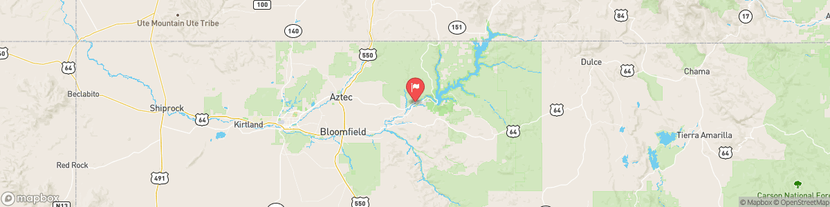
SAN JUAN RIVER NEAR ARCHULETA
USGS 09355500
FLOOD WATCH
* WHAT...Flash flooding caused by excessive rainfall continues to be possible. * WHERE...Portions of north central and west central New Mexico, including the following areas, in north central New Mexico, Far Northwest Highlands, Jemez Mountains and Northwest Highlands. In west central New Mexico, West Central Highlands and West Central Mountains. * WHEN...Through this evening. * IMPACTS...Excessive runoff may result in flooding of rivers, creeks, streams, and other low-lying and flood-prone locations. Creeks and streams may ...

Today, Showers and possibly a thunderstorm. Low around 50. Southeast wind 5 to 10 mph. Chance of precipitation is 80%. New rainfall amounts between a tenth and quarter of an inch, except higher amounts possible in thunderstorms.
Tomorrow, Showers and possibly a thunderstorm. Low around 50. Southeast wind 5 to 10 mph. Chance of precipitation is 80%. New rainfall amounts between a tenth and quarter of an inch, except higher amounts possible in thunderstorms.
5-Day Forecast
Long Term Forecast
16-Day Forecast