

Dan River Near Wentworth, Nc Realtime Data
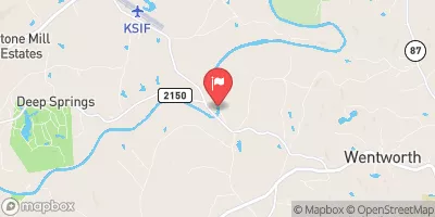
DAN RIVER NEAR WENTWORTH, NC
Realtime Data • Report • Conditions
637
Discharge (cfs)
1.7
Gauge Height (ft)
Streamflow discharge was last observed at 488 cfs, and a gauge height of 1.68 feet.
With the
% decrease since yesterday,
the streamflow average over the past 10 days is 830 .
Weather today, Tomorrow,
The river is mainly fed by rainfall and snowmelt, and its flow is affected by the construction of dams and other water control structures. The river has several tributaries, including the Mayo River and the Smith River, which can also affect its flow. Seasonally, the river experiences high flows during the spring and summer months due to increased precipitation, while low flows can occur during the fall and winter. An interesting fact about the Dan River is that it was once used for transportation of goods and people, and was an important part of the local economy.
October 15, 2026
| Elevation | 515.0 ft |
| Last Updated | |
| Gage height, ft | 1.68 ft |
| Streamflow, ft³/s | 488.0 ft3/s |
| Percent of Normal | 111% |
| Year Over Year Average | 569 cfs |
| 24hr Flow Prediction | cfs |
| Maximum Recorded | 38,600 cfs |
| Geolocation | 36.41, -79.83 |
 Continue with Snoflo Premium