

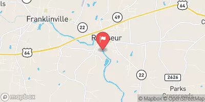
Deep River At Ramseur, Nc Realtime Data
DEEP RIVER AT RAMSEUR, NC
Realtime Data • Report • Conditions
19
Discharge (cfs)
0.5
Gauge Height (ft)
Streamflow discharge was last observed at 19 cfs, and a gauge height of 0.48 feet.
With the
% decrease since yesterday,
the streamflow average over the past 10 days is 58 .
Weather today, Tomorrow,
The river is not affected by any major dams or tributaries in the area. The water levels tend to be highest in the spring due to snowmelt and spring rains, and lowest in the late summer and early fall. The river's hydrology is interesting due to its unique geological features, including the presence of karst formations, which are underground areas of porous rock that can cause sudden drops in water levels. Overall, the Deep River at Ramseur is an important natural resource in the area and provides important data for researchers and water managers.
October 23, 2026
| Elevation | 437.0 ft |
| Last Updated | |
| Gage height, ft | 0.48 ft |
| Streamflow, ft³/s | 18.9 ft3/s |
| Percent of Normal | 29% |
| Year Over Year Average | 66 cfs |
| 24hr Flow Prediction | cfs |
| Maximum Recorded | 21,000 cfs |
 Continue with Snoflo Premium