

Drowning Creek Near Hoffman, Nc Realtime Data
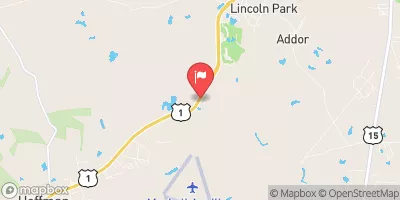
DROWNING CREEK NEAR HOFFMAN, NC
Realtime Data • Report • Conditions
22
Discharge (cfs)
1.0
Gauge Height (ft)
Streamflow discharge was last observed at 22 cfs, and a gauge height of 1.04 feet.
With the
% decrease since yesterday,
the streamflow average over the past 10 days is 33 .
Weather today, Tomorrow,
It is majorly fed by precipitation and known for periodic flash floods during the summer months. This creek is formed by numerous small tributaries, and the significant dams along its course include the Ennis and McQueen's Mill Dams. The hydrology of Drowning Creek is characterized by periodic flooding, especially during the rainy season, and it has a significant economic impact on the area. Interestingly, Drowning Creek's name is derived from the local legend of a drowning incident involving a Native American tribe. In conclusion, Drowning Creek is a significant stream gauge in southeastern North Carolina, characterized by periodic flooding, a network of tributaries, and a unique origin story.
October 24, 2026
| Elevation | 274.0 ft |
| Last Updated | |
| Gage height, ft | 1.04 ft |
| Streamflow, ft³/s | 21.6 ft3/s |
| Percent of Normal | 23% |
| Year Over Year Average | 95 cfs |
| 24hr Flow Prediction | cfs |
| Maximum Recorded | 8,960 cfs |
| Geolocation | 35.06, -79.49 |
 Continue with Snoflo Premium