

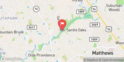
Mcalpine Cr At Sardis Road Near Charlotte, Nc Realtime Data
MCALPINE CR AT SARDIS ROAD NEAR CHARLOTTE, NC
Realtime Data • Report • Conditions
1
Discharge (cfs)
0.4
Gauge Height (ft)
USGS 02146600
Streamflow discharge was last observed at 1 cfs, and a gauge height of 0.38 feet.
With the
% decrease since yesterday,
the streamflow average over the past 10 days is 1 .
Weather today, Tomorrow,
The primary constituents of the flow are stormwater runoff from the surrounding urban area and groundwater. The creek feeds into the McAlpine Creek Reservoir, which is used for drinking water. There are no major tributaries or dams near the gauge. Seasonal trends show increased flow during the wetter months of the year and decreased flow during the drier months. Interesting hydrology facts include the presence of wetlands and floodplains along the creek, which provide important habitat for wildlife and can help reduce flood damage.
October 9, 2026
| Elevation | 561.0 ft |
| Last Updated | |
| Gage height, ft | 0.38 ft |
| Streamflow, ft³/s | 1.03 ft3/s |
| Stream water level elevation above NAVD 1988, in ft | 552.74 ft |
| Percent of Normal | 35% |
| Year Over Year Average | 3 cfs |
| 24hr Flow Prediction | cfs |
| Maximum Recorded | 3,480 cfs |
| Geolocation | 35.14, -80.77 |
 Continue with Snoflo Premium