

Nantahala River Near Rainbow Springs, Nc Realtime Data
NANTAHALA RIVER NEAR RAINBOW SPRINGS, NC
Realtime Data • Report • Conditions
105
Discharge (cfs)
1.1
Gauge Height (ft)
Streamflow discharge was last observed at 105 cfs, and a gauge height of 1.05 feet.
With the
% decrease since yesterday,
the streamflow average over the past 10 days is 106 .
Weather today, Tomorrow,
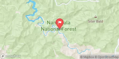
The river is primarily fed by rainfall and snowmelt from the Nantahala National Forest, and its flow is affected by seasonal trends. During the summer months, the flow is typically low due to drought conditions, while in the winter and early spring, the flow increases due to increased precipitation. There are no major tributaries or dams near the streamgauge, but the river is known for its Class III and IV rapids, making it a popular destination for whitewater rafting and kayaking enthusiasts. Interestingly, the river's name comes from the Cherokee word "Nantahala," which means "Land of the Noonday Sun," as the steep gorge surrounding the river limits the amount of sunlight that reaches its waters.
October 14, 2026
| Elevation | 3,073.0 ft |
| Last Updated | |
| Gage height, ft | 1.05 ft |
| Stream water level elevation above NAVD 1988, in ft | 3074.12 ft |
| Streamflow, ft³/s | 105.0 ft3/s |
| Percent of Normal | 105% |
| Year Over Year Average | 99 cfs |
| 24hr Flow Prediction | cfs |
| Maximum Recorded | 3,720 cfs |
 Continue with Snoflo Premium