

South Fork Catawba River At Lowell, Nc Realtime Data
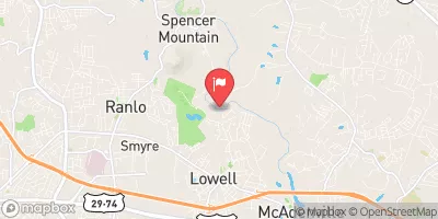
SOUTH FORK CATAWBA RIVER AT LOWELL, NC
Realtime Data • Report • Conditions
175
Discharge (cfs)
1.8
Gauge Height (ft)
USGS 02145000
Streamflow discharge was last observed at 175 cfs, and a gauge height of 1.81 feet.
With the
% decrease since yesterday,
the streamflow average over the past 10 days is 211 .
Weather today, Tomorrow,
The river is dammed in several locations, including Mountain Island Lake and Lake Wylie, and is influenced by tributaries such as the Dutchman's Creek and the Rocky River. Seasonal trends in flow reflect changes in precipitation and snowmelt, with higher flows in the spring and lower flows in the summer and fall. Interesting facts about the hydrology of the South Fork Catawba River include its role in providing drinking water to several communities in the Charlotte area and its designation as a State Natural and Scenic River.
October 9, 2026
| Elevation | 606.0 ft |
| Last Updated | |
| Gage height, ft | 1.81 ft |
| Streamflow, ft³/s | 175.0 ft3/s |
| Stream water level elevation above NAVD 1988, in ft | 604.09 ft |
| Percent of Normal | 59% |
| Year Over Year Average | 299 cfs |
| 24hr Flow Prediction | cfs |
| Maximum Recorded | 23,800 cfs |
| Geolocation | 35.29, -81.10 |
 Continue with Snoflo Premium