

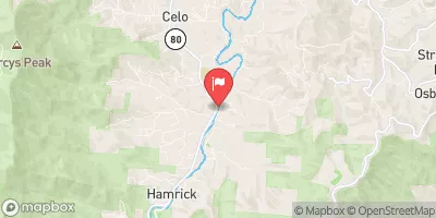
South Toe River Near Celo, Nc Realtime Data
SOUTH TOE RIVER NEAR CELO, NC
Realtime Data • Report • Conditions
89
Discharge (cfs)
0.9
Gauge Height (ft)
USGS 03463300
Streamflow discharge was last observed at 86 cfs, and a gauge height of 0.89 feet.
With the
% decrease since yesterday,
the streamflow average over the past 10 days is 146 .
Weather today, Tomorrow,
The river is fed by several smaller tributaries and is regulated by the dam at the Blue Ridge Reservoir. During the spring, the river experiences increased flow due to snowmelt, while in the summer months, it is affected by lower precipitation levels. The hydrology of the South Toe River is important to the local community as it provides opportunities for recreational activities such as fishing and kayaking. Interestingly, the river was named after the shape of its bends, which resemble toes.
October 23, 2026
| Elevation | 2,657.0 ft |
| Last Updated | |
| Gage height, ft | 0.89 ft |
| Streamflow, ft³/s | 86.0 ft3/s |
| Stream water level elevation above NAVD 1988, in ft | 2657.41 ft |
| Percent of Normal | 128% |
| Year Over Year Average | 69 cfs |
| 24hr Flow Prediction | cfs |
| Maximum Recorded | 6,130 cfs |
| Geolocation | 35.83, -82.18 |
 Continue with Snoflo Premium