

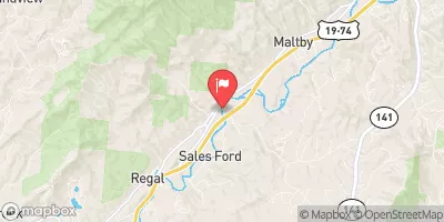
Valley River At Tomotla, Nc Realtime Data
VALLEY RIVER AT TOMOTLA, NC
Realtime Data • Report • Conditions
62
Discharge (cfs)
1.7
Gauge Height (ft)
Streamflow discharge was last observed at 60 cfs, and a gauge height of 1.73 feet.
With the
% decrease since yesterday,
the streamflow average over the past 10 days is 67 .
Weather today, Tomorrow,
The river's watershed covers an area of 279 square miles and is fed by several tributaries, including the Hiwassee River and Tusquittee Creek. The river has a seasonal trend, with higher flows in the spring due to snowmelt and rainfall, and lower flows in the summer and fall. The river has a dam at the Hiwassee Reservoir, which can affect the river's flow. Interestingly, the Valley River is home to several endangered species, including the Appalachian elktoe mussel and the spotfin chub. The streamgauge provides important data for understanding the hydrology of the river and managing its resources.
October 23, 2026
| Elevation | 1,558.0 ft |
| Last Updated | |
| Gage height, ft | 1.73 ft |
| Streamflow, ft³/s | 60.3 ft3/s |
| Stream water level elevation above NAVD 1988, in ft | 1558.12 ft |
| Percent of Normal | 76% |
| Year Over Year Average | 82 cfs |
| 24hr Flow Prediction | cfs |
| Maximum Recorded | 6,340 cfs |
 Continue with Snoflo Premium