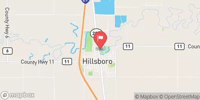
Streamflow discharge was last observed at 7 cfs, and a gauge height of 1.73 feet.
With the
% decrease since yesterday,
the streamflow average over the past 10 days is 11 .
Weather today, Tomorrow,
The primary sources of flow are rainfall, snowmelt, and groundwater discharge. The river is fed by several small tributaries, including the Sand Hill River, Kingsbury Creek, and Sheyenne River. There are no major dams along the river. The flow varies seasonally, with higher flows in the spring due to snowmelt and lower flows in the summer and fall. Interestingly, the Goose River is known for its high water quality and supports a diverse range of aquatic life, including fish, insects, and plants.
| Elevation | 887.0 ft |
| Last Updated | |
| Gage height, ft | 1.73 ft |
| Streamflow, ft³/s | 7.16 ft3/s |
| Stream water level elevation above NAVD 1988, in ft | 882.18 ft |
| Percent of Normal | 9% |
| Year Over Year Average | 82 cfs |
| 24hr Flow Prediction | cfs |
| Maximum Recorded | 12,100 cfs |