

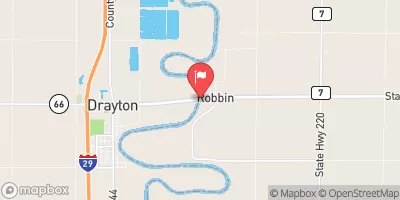
Red River Of The North At Drayton, Nd Realtime Data
RED RIVER OF THE NORTH AT DRAYTON, ND
Realtime Data • Report • Conditions
2,440
Discharge (cfs)
12.8
Gauge Height (ft)
USGS 05092000
Streamflow discharge was last observed at 2,440 cfs, and a gauge height of 12.76 feet.
With the
% decrease since yesterday,
the streamflow average over the past 10 days is 2,528 .
Weather today, Tomorrow,
The river is known for its flooding, which is exacerbated by several tributaries, including the Wild Rice River and Sheyenne River. The river is also affected by the Baldhill Dam, which helps regulate water levels. Seasonally, the river experiences its highest flow rates in the spring due to snowmelt, and its lowest flow rates in the fall and winter. Interestingly, the Red River of the North is one of the few rivers in the world that flows northward, and is known for its unique red color caused by clay and silt in the water.
October 22, 2026
| Elevation | 768.0 ft |
| Last Updated | |
| Gage height, ft | 12.76 ft |
| Streamflow, ft³/s | 2440.0 ft3/s |
| Stream water level elevation above NAVD 1988, in ft | 768.82 ft |
| Percent of Normal | 84% |
| Year Over Year Average | 2,910 cfs |
| 24hr Flow Prediction | cfs |
| Maximum Recorded | 80,000 cfs |
| Geolocation | 48.57, -97.15 |
 Continue with Snoflo Premium